A Buyer’s Guide To The Intracoastal Waterway At Oak Island
December 11, 2025
December 11, 2025
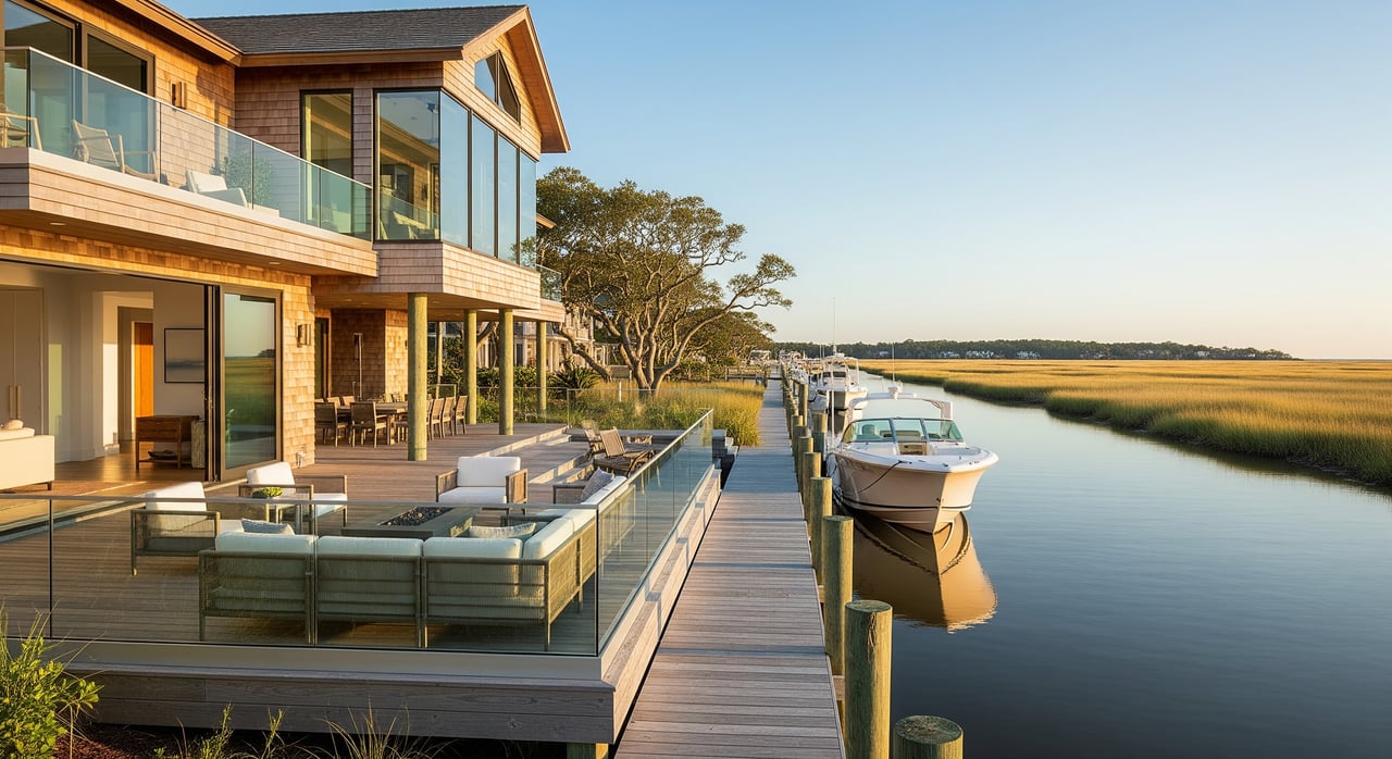
Picture this: you step from your back deck onto your boat, idle out to the Intracoastal Waterway, and catch sunset over the marsh before dinner in town. If that vision fits your goals in Oak Island, NC 28422, you also want a clear plan for depth, flood risk, permits, and upkeep. In this guide, you’ll learn the key checks smart buyers use, the inspections and insurance to line up, and where to verify every detail. Let’s dive in.
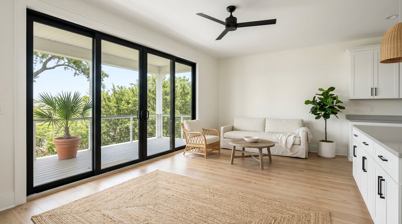
Buying along the Intracoastal Waterway gives you sheltered, tidal boating with access to creeks, sounds, and the Atlantic. The ICW near Oak Island is a navigable channel supported by federal maintenance, which helps boaters enjoy fishing and cruising most of the year. Seasonal traffic rises in peak months, so expect more boat activity in summer.
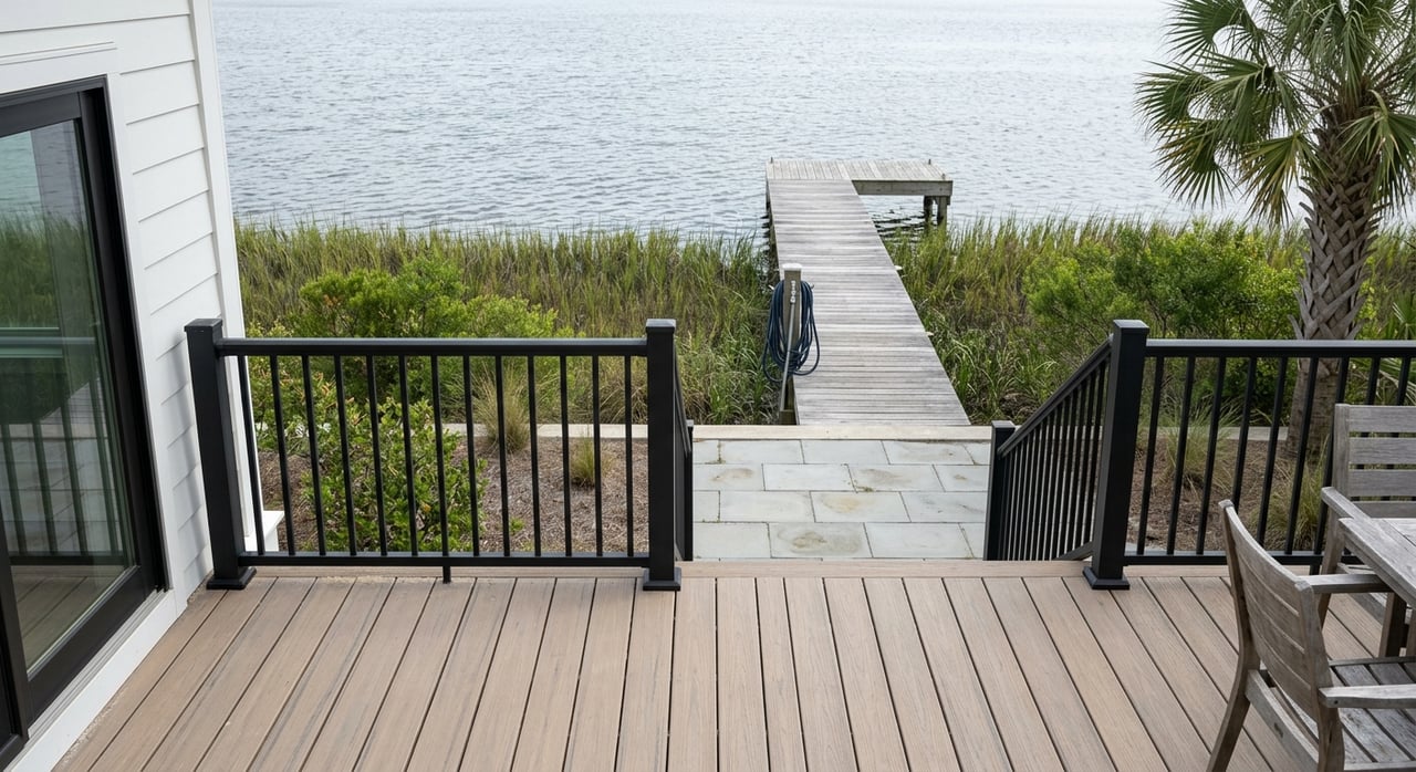
Confirm the usable depth at mean low water where you plan to keep your boat. Check local tidal range and currents, and ask about any shoaling trends. Review official data using NOAA tidal and current data and monitor USACE Wilmington District dredging updates for the region. If you will pass under bridges, verify the vertical clearance fits your boat.
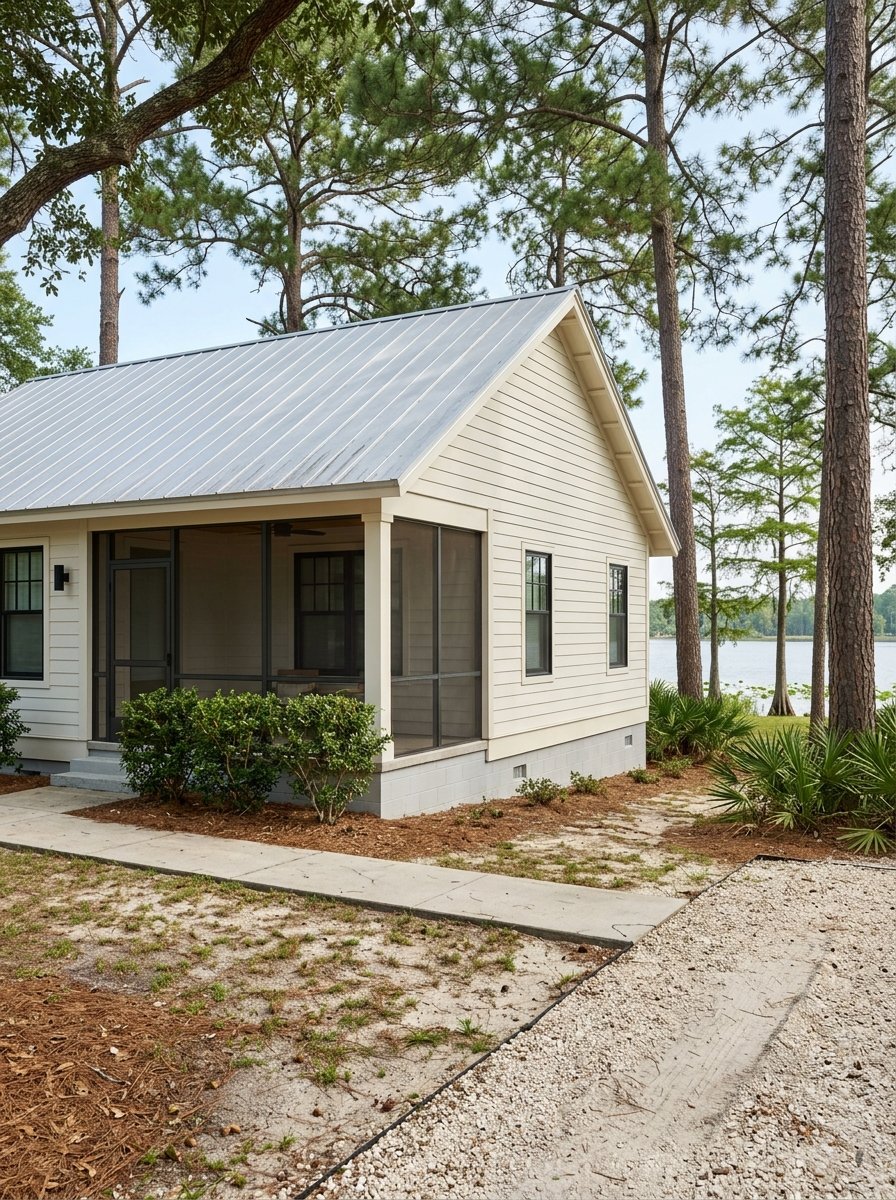
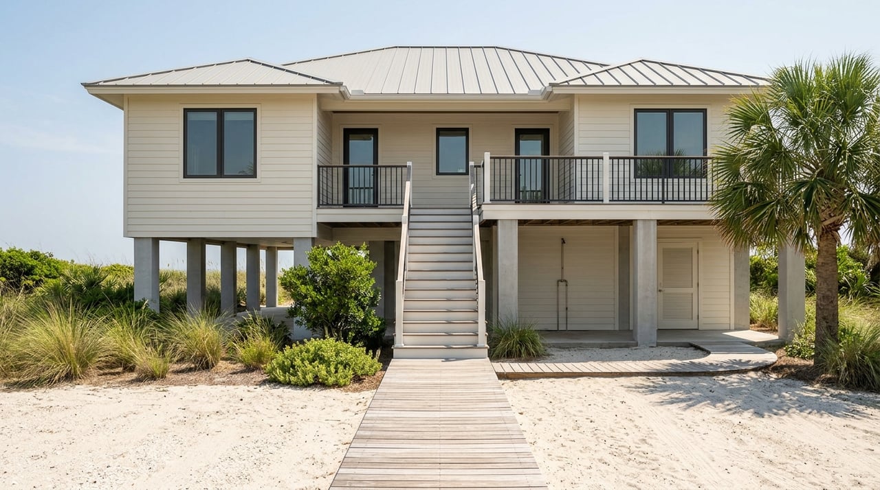
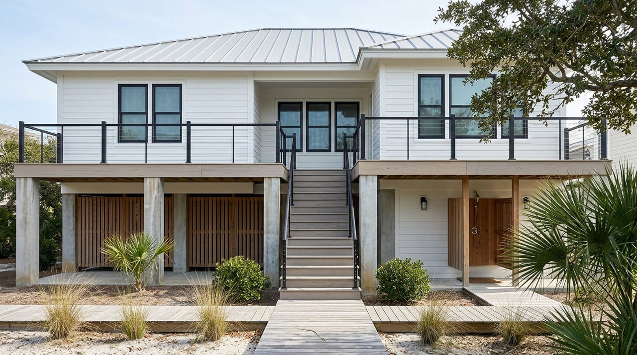
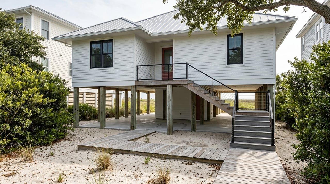
Flood risk varies street by street based on elevation. If the property sits in a Special Flood Hazard Area, most lenders will require flood insurance. Request the latest elevation certificate and confirm your flood zone using FEMA’s Map Service Center. In a coastal area that experiences tropical systems, raised foundations and flood-resistant design features can help reduce risk.
Inspect dock pilings, decking, hardware corrosion, and any boatlift machinery. Review the age and condition of bulkheads or riprap and ask about prior repairs. Shoreline stabilization can be costly, so gather recent invoices or quotes when available.
Private docks, boatlifts, bulkheads, and shoreline projects typically require permits. In North Carolina, coastal work often involves both state and federal review. Learn what applies to your parcel through the NC Division of Coastal Management’s CAMA permit guidance and the USACE Wilmington District. At the local level, start with the Town of Oak Island for zoning, building, and inspections guidance.
Budget for homeowner’s, wind, and flood coverage. Premiums depend on elevation, construction, and flood zone, so ask your agent for quotes early. Elevating utilities and adding flood vents or hurricane-rated features can help with pricing and resilience.
Verify sewer or septic, water service, garbage collection, and internet options. Waterfront parcels sometimes include easements for drainage or utilities. Confirm any shared maintenance responsibilities for canals, bulkheads, or docks.
Salt air accelerates corrosion, so expect shorter lifecycles for metal connectors, HVAC components, and exterior fixtures. Plan routine servicing for boatlifts and periodic replacement of dock fasteners and decking. Shoreline protection systems need monitoring and timely repairs to prevent larger issues.
In North Carolina, the line between private upland and public trust tidelands is tied to mean high water. That boundary, along with any accretion or erosion history, can affect your usable waterfront and dock rights. Because rules differ by location and project type, coordinate with the Town of Oak Island, Brunswick County, the NC Division of Coastal Management, and the USACE Wilmington District early in your planning.
If an HOA governs the property, review covenants for restrictions on pier length, lifts, boat size, or rental rules. Confirm whether any existing dock or bulkhead permits are transferable.
Waterfront homes typically command a premium driven by view, dock quality, water depth, elevation, and neighborhood infrastructure. Demand can be seasonal, especially for second homes. Study recent comparable sales specific to ICW frontage versus canal or non-waterfront parcels to understand the local premium. If you plan to rent, check town ordinances and HOA rules before underwriting rental income.
Buying on the ICW is about balancing access and views with thoughtful due diligence. When you understand water depth, elevation, permits, and maintenance, you can purchase with confidence and enjoy the coastal lifestyle for years to come. If you want a clear path from first showing to closing, connect with the local team that does this every day. Schedule your next step with Hank Troscianiec and Associates.


We pride ourselves in providing personalized solutions that bring our clients closer to their dream properties and enhance their long-term wealth. Contact us today to find out how we can be of assistance to you!